 |
 |
|
|
SUMMER PROJECT 2025
This summer, we’re chasing
the sky—and we’d love for you to join us! We’re
thrilled to support the Fountain Hills Dark Sky
Discovery Project, a dazzling endeavor unfolding right
here in our beautiful town. Isn’t it lovely watching it
bloom, one dreamy step at a time?
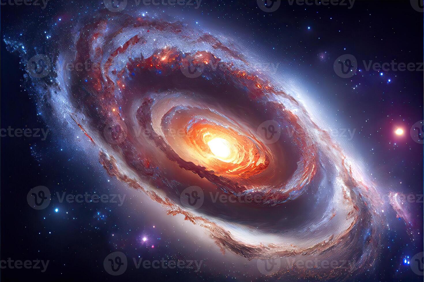
Our theme is simple: Sky. But oh, what a sky it
is! Big skies, tiny skies, stormy, starry, painted in every hue your heart can imagine. As long as it touches the sky, it belongs.
Artists aren’t scared of bold ideas—we follow them like fireflies in the dark. Who knows what surprises will come fluttering out of your brush, your lens, your hands? Let’s create, explore, and marvel together. I can’t wait to see what magic you make.Wishing you a summer full of color and delight.
Go play!
Contact Adi Reinhardt for questions @ adelheid1@cox.net